


")


|
|
|
|
|
 |
|
|
|
|
|
|
|
|
|
|
|
|
|
|
|
|
|
|
|
|
|
|
|
|
|
|
|
|
|
|
|
Many long years Aquiline International Corp. Ltd went by the way of perfection of quality of offered services and provision of a wide range of products for aviation technics. All it promoted requirements satisfaction of clients which have chosen us. Now, when behind eleven years of effective work, company Aquiline International can be proud of wide popularity in aviation sections and good reputation among our customers and partners, and it not a limit. We are ready to put a maximum of efforts for achievement of new tops in our business to justify expectations of our colleagues, partners and customers.
TRAST Aerosupermarket®
Reliable supplier of aviation products and services.
The company you can trust.
Is a Reliable Source of Aviation Supplies
A Company of Your Trust
Trast Aero Supermarket- store products for aviation
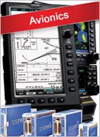
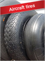
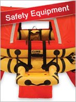
Aviation store www.trast-aero.com offers for sale aviation oils and lubricants, avionics, spare parts, rescue equipment, satellite phones, tires and batteries for the aircraft. Delivery to any airport.